In June, we took one of our favourite walks, following the Castle Frank stream. The creek rises near Yorkdale Mall and makes its way south-easterly to eventually empty into the Don River, south of Bloor St. We started at Eglinton West station on line One where the Eglinton LRT crosses the Spadina branch of line One. The new Cedarvale station adjoins the Eglinton West station.

After countless years of construction, Eglinton Avenue has been restored.

Crossing Eglinton to the south side, we took Everden Road south to Ava Road and the entrance to the gorgeous Cedarvale Park, one of Toronto’s gems.

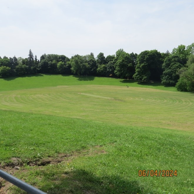
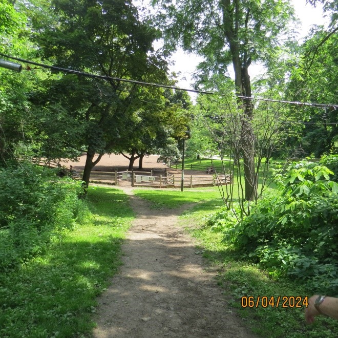
Cedarvale Park has plenty of flat land for tennis, playing fields and off-leash dog runs…

…but its most beautiful feature is the large “bowl” formed by the creek as it passes through.
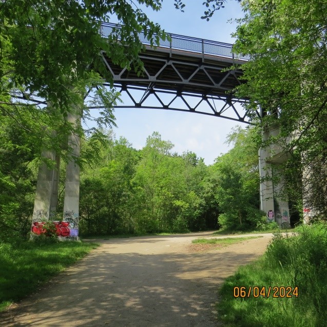
At the end of the open space, the trail enters a treed section that continues all the way to St. Clair Ave., passing under the (now) pedestrian only Glen Cedar bridge and Bathurst St.
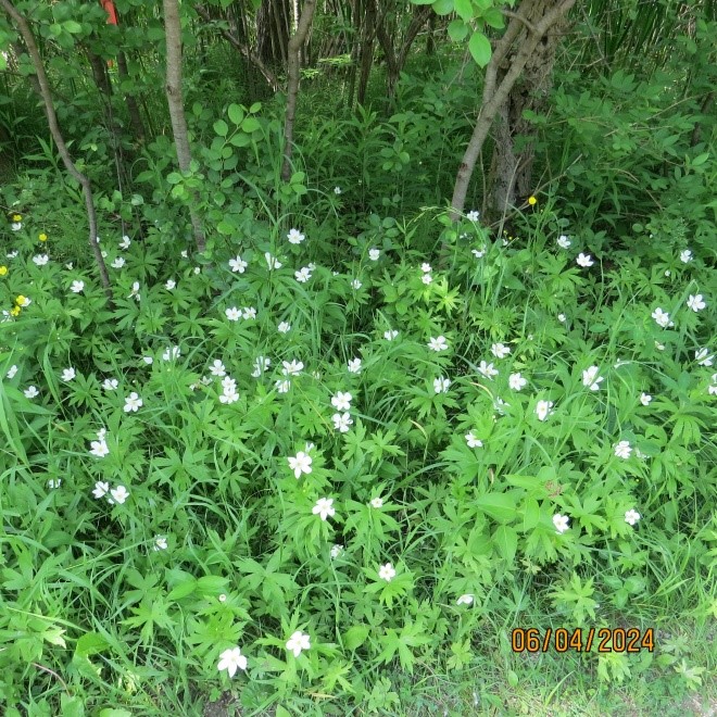
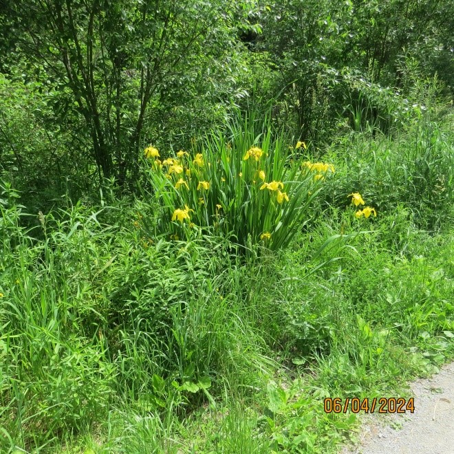
After Bathurst St., the trail passes through a swampy area with all of its wild flowers.
At Heath St., the trail climbs out of the ravine to street level. This is necessary because, in the distant past, city fathers decided to fill in the ravine on either side of St. Clair Avenue, thus creating a site for a large Loblaws store and St. Michael’s College School. However, instead of detouring over to Bathurst and down to St. Clair, we took the elevator down to the Heath St. entrance of St. Clair West station and walked through to the other end, south of St. Clair. We were able to do this because it was within the two hour limit the TTC allows riders to reboard their vehicles. At the south end of the St. Clair West station is this mural.

There used to be an exit directly from the station to the ravine, but it was closed, so we had to go to the surface and back down a ramp to the ravine. South of St. Clair, it is no longer the Cedarvale Ravine but the Nordheimer Ravine. I just read that the stream used to flow openly in this section, but it was buried in a pipe when the Spadina subway was built. What a shame!

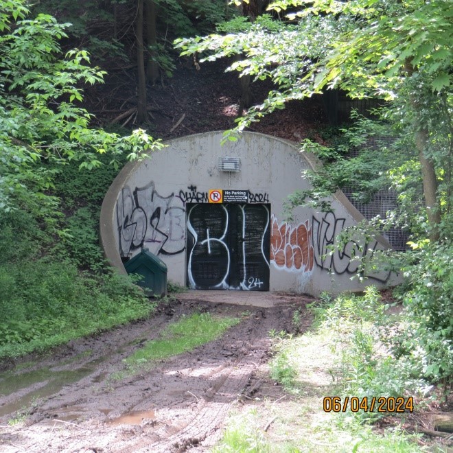
Following the trail, we passed by the emergency exit for the subway which was used once when two trains crashed several years ago.
As it was Spring, several flowers were blooming along the path.
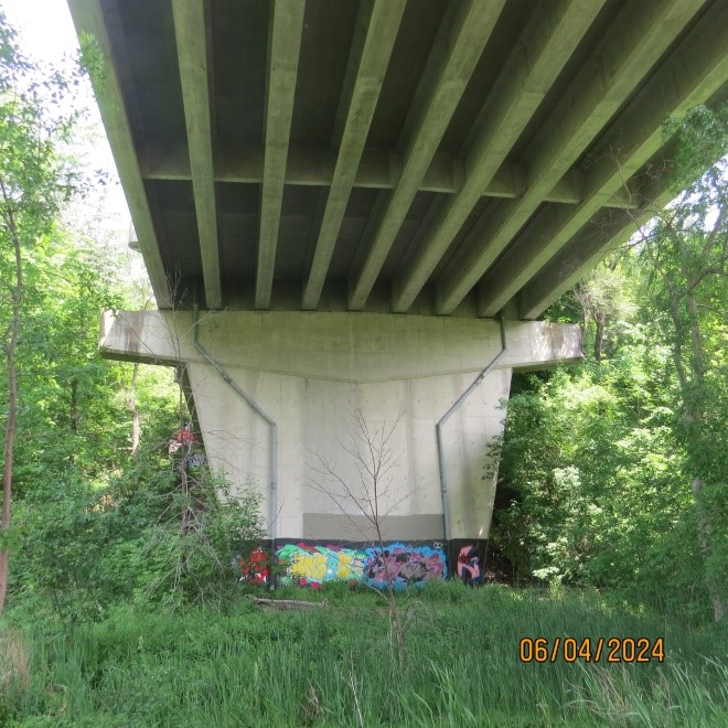
The trail ends at Boulton Ave., but the creek continues through backyards and under streets. To pick up its path again, we walked south on Boulton to Davenport and under the railway bridge to Dupont. We then went south on the east side of Avenue Road. An observer can see the route of the creek just north of Davenport where there is a big dip in the road. Fortunately, Ramsden Park is built over the stream and goes from Avenue Road to Yonge St.
This would seem to be an ideal spot to “daylight” the stream, bringing it back to the surface so all can enjoy the flowing waters.
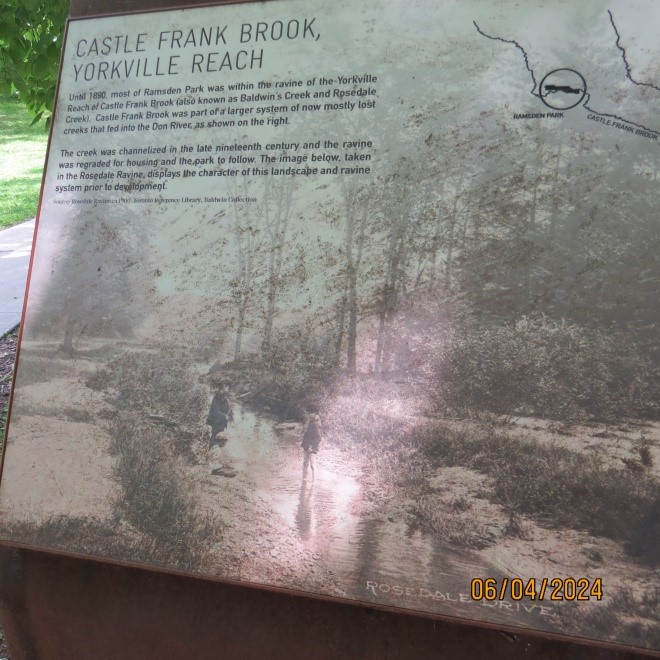
A plaque in the park tells the story of the creek and shows what used to be and what might be in the future if the stream is restored.
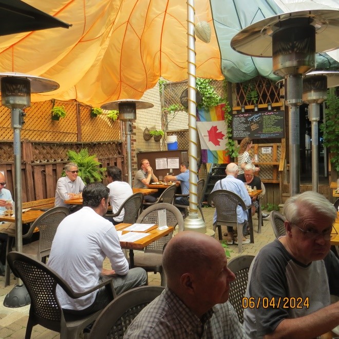
We ended the walk by walking north on Yonge about a block and a half to the Rebel House pub and their summer patio.