By James Rayner
One of my favourite outings is to the Vale of Avoca. The Walking Club did this walk in June 2022. The Vale of Avoca is a ravine system that begins north of the Downsview Airport but is buried until its exit from Mount Pleasant Cemetery and runs south-east to Rosedale and the Don Valley. Along part of its route, it runs parallel to Avoca Ave. in the St. Clair and Yonge area, hence the name.
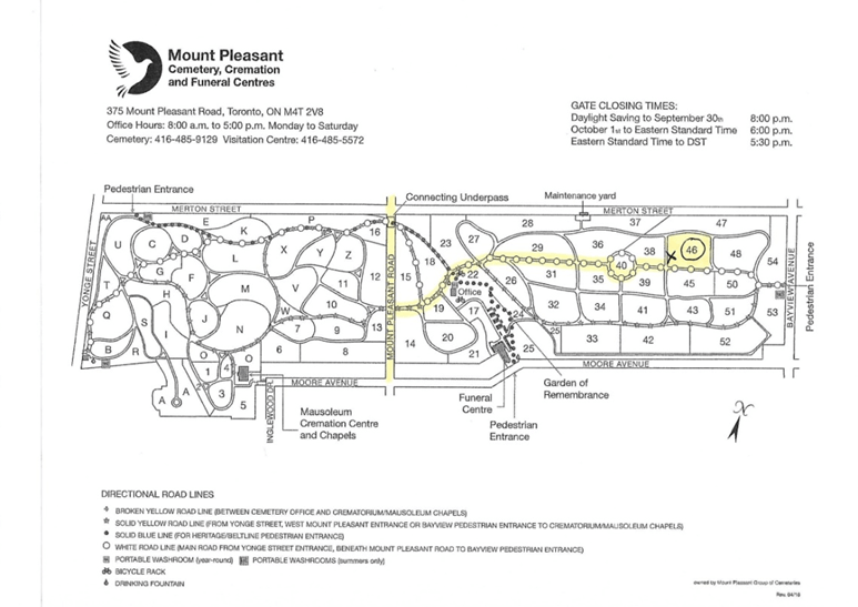
To get to the beginning of the trail, you must enter the cemetery. On the attached map, you can see area A/A just east of Yonge St. on the south border of the cemetery where there is a dead-end turn-around for vehicles. At the south end of that circle is the entrance to the trail.
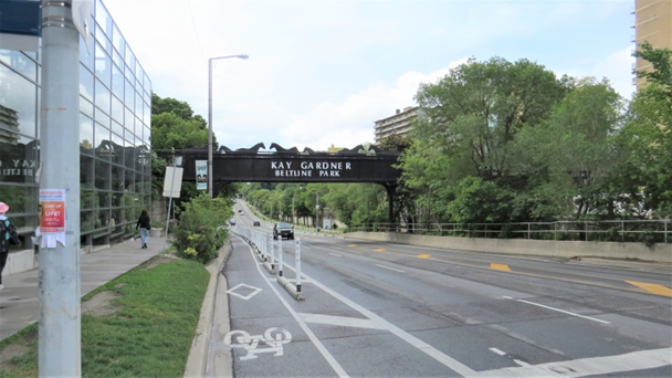
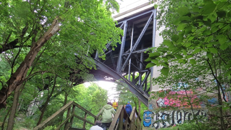
Take the subway to Davisville, walk south two blocks on the east side of Yonge St. Take the stairs at the bridge up to the Belt Line trail and walk one block east to the cemetery entrance. Note the horses on the bridge!
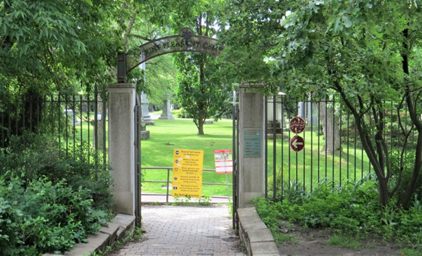
Follow the map to the south end of the cemetery to find the trail entrance at the circle at point A/A. The entrance to the trail is by a garbage bin and may not be obvious.

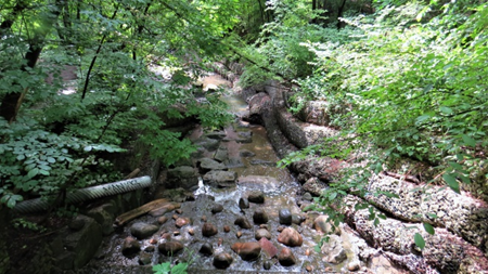
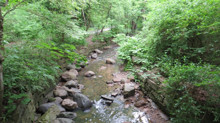
The trail follows Yellow Creek as far as Bayview Ave. in the Don Valley where it empties into the Don River. Along the route, sometimes the stream is open; other times it is buried in large culverts.
Because the trail is in a ravine, there are several bridges to pass under. The first is at St. Clair Avenue East.
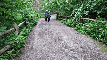
It is difficult to imagine that such a peaceful, bucolic place could exist in the centre of the city but luckily for us, it does. As it flows south, the stream grows in volume.
The next bridge we come to is the CP railway bridge made of reinforced concrete.

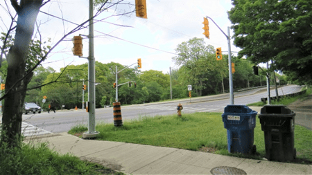
Continuing the walk, we arrive at Mt. Pleasant Road, where the official speed limit 60 km/h, but nobody drives that slowly. Luckily for walkers, the city has installed traffic lights for those wishing to continue on the other side of Mt. Pleasant.
The trail continues through Rosedale, passing under the Glen Road bridge that links north and south Rosedale.

Along this path the stream has grown again and is eventually buried before reaching the Don.

The last part of the walk is to climb out of the ravine into Rosedale via Milkman’s Lane (a sign marks the lane.) From the top of the lane, wander through Rosedale to either Castle Frank or Sherbourne subway station.
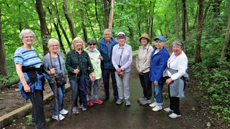
Here is the happy group that took part in the walk.